Earth Science: Understanding Glaciers Lab

Image
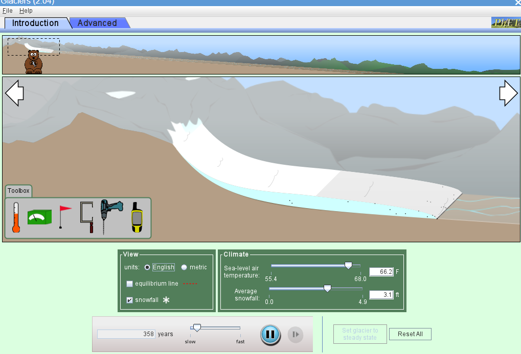
glacier lab image

This is an interactive digital glacier lab that will help students understand what glaciers are, what some of the formations and deposits look like, and will have students explore how glaciers grow and shrink, and how scientists go about discovering glacial movement speeds over time as well as finding out how scientists come up with the numbers of how long glaciers will last at current rates. Students will actually be the scientist discovering the rate of speed as they build their own interactive glacier using Phet. You will need computers that can run Java.

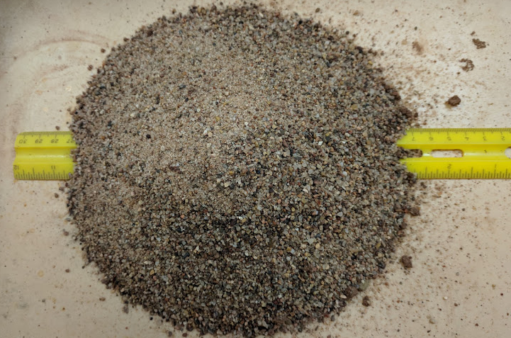
Erosion: Angle of Repose Lab

Image

angle of repose lab

In this lab, students will take piles of sand and determine what the sand's angle of repose is. Students will compare 4 trials and see at how many degrees slope will the sand be able to handle before it has a landslide. There is math involved in this process. Students will then answer some questions based on their observations.

For more Earth Science labs and activities, visit EarthScience.xyz

Earth Science: The Nature of Science

Image

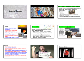
The nature of science image

This file includes all of the assignments, instructions, lab notes, labs, worksheets, and presentations to teach the first chapter of Earth science. Students will get the opportunity to explore the scientific method through both hands-on and digital labs.


Included are:

1 presentation in both PowerPoint and Google Doc

5 Earth Science both digital and hands-on labs

Vocabulary words included on the test

3 ways of integrating technology

All of the worksheets and instructions for the labs and assignments.

2 videos

Earth Science Salt Crystal Formation Lab

Image

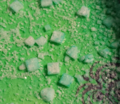
salt crystal lab image

In this 3rd through 10th-grade lab, students will observe the formation of salt crystals. Students will also add food coloring to their dissolved salt solution to demonstrate how chemical impurities can change a mineral's color. If you have enough students doing the lab your class will get to see many different results. This Earth Science lab comes with the student work, student image sample results, and with my own insights and explanations as to how the experiment can work well.

Find more Earth Science labs and lessons at EarthScience.xyz

Earth Science: What's in that Mineral? Activity

Image

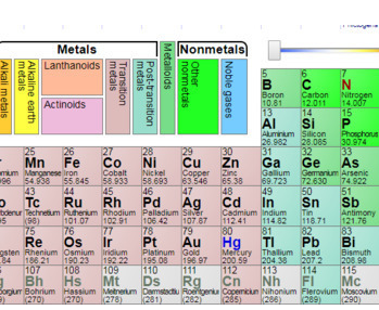
Earth Science: What's in that Mineral? Activity periodic table

This Google search activity allows students to go to the internet to search for specific minerals and then to use the Periodic Table to discover what elements the mineral is made out of. This activity usually takes a full 50 minutes for the students to find all of the answers. Students will investigate 12 different minerals and which elements make the mineral up. They will look at a periodic table and decide whether the elements are metals or nonmetals. Students will also search the internet and find out some industrial uses for each mineral.

Understanding Earthquakes through Analyzing and Plotting Data

Image

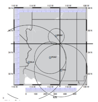
Earthquake triangulation image

In this Earth Science activity, students will gain a deeper understanding of the following Vocabulary: seismologist, seismograph, seismogram, epicenter, P-Wave, S-Wave, Wave Amplitude, Magnitude, and Richter/Moment Scale.

Students will create a digital spreadsheet that will help them calculate data they gathered by looking at actual seismograms. Technology is incorporated throughout the lesson.

Famous Volcanoes

Image

Famous Volcanoes Activity image

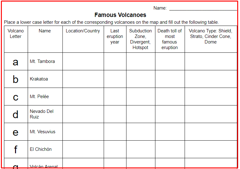
In this web research activity, students will research 14 volcanoes via the internet. All of these volcanoes are famous for either their size of eruption or the continuous eruptions that they have. They are famous for causing large tsunamis, huge pyroclastic flows, and lahars, as well as some that might not be so dangerous but have flowed continuously for many years. Students will enhance their geography knowledge by plotting the volcano's location on a plate tectonic map. They will find out when the last eruption occurred.

Google Drawing and Diagram: Fault Types and Forces

Image

Google Drawing and Diagram: Fault Types and Forces image

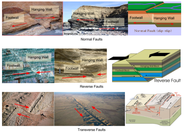
In this EdTech Earth Science activity, students will use Google Drawing to create an image that demonstrates the three main types of earthquake faults, Transverse, Normal, and Reverse. They will find 2 real images of each type of fault. They will draw arrows pointing in the direction that the forces, shear, compression, and tension are moving on each image. They will also find and add an actual diagram of each type of fault. Finally, students will label the hanging wall and footwall on each image except for the transverse/strike-slip.

Current USGS Significant Worldwide Earthquake Investigation

Image

worldwide earthquake map activity image

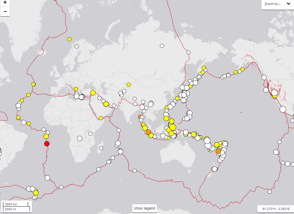
In this Earth Science Earthquake activity, students will explore the USGS current earthquake website. Students will understand what is to be found on the USGS Earthquake website. They will discover how many earthquakes have occurred recently. Students will gain an understanding of what the Mercalli Intensity Scale is used for. Students will discover the 5 largest recent earthquakes that have occurred around the world. They will gain a better understanding of geography as well by using maps and map scales to determine distances from an earthquake epicenter.

Surface Water Landforms Google Earth Scavenger Hunt

Image

Surface Water Landforms Google Earth Scavenger Hunt image

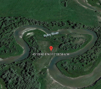
In this Earth Science digital activity, students will locate specific water eroded or deposited landforms. The activity will enhance their understanding of Geo Coordinates. Students will use Google Earth and become more proficient with its use. Students will see actual satellite views of their vocabulary words instead of just memorizing the definitions. Vocabulary words that will be reinforced are Meanders, oxbow lakes, sediment, river types (old, mature, young), delta, deposition, erosion, alluvial fan, and flood plain.