Using Topographic Maps Lab

Image
Using Topographic Maps Lab image

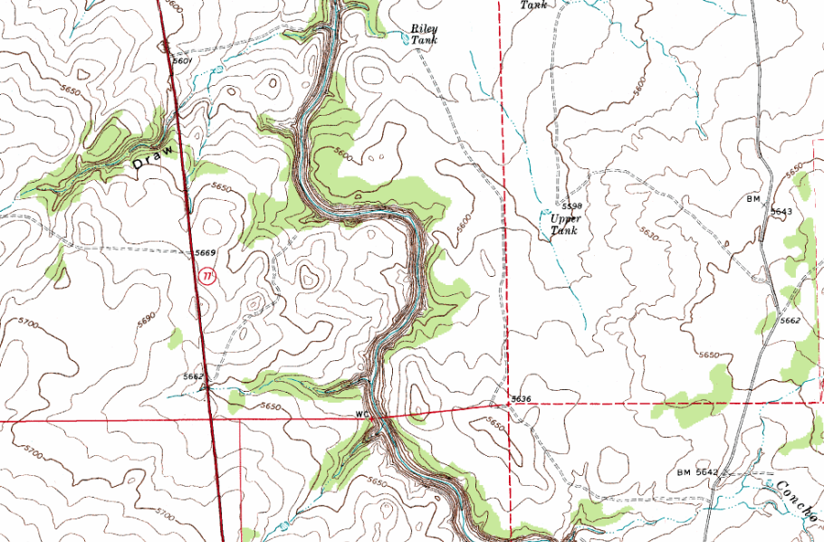
In this activity, students will engage in a topographic map exercise. When a student is finished they will understand what contour lines, elevation, contour interval, contour index, and quadrants are. Students will analyze a map of Snowflake AZ, you can pick your own map if you wish, and discover why it is important to understand topographic maps.

For more Earth Science Labs and Resources visit EarthScience.xyz

Practice Using Geologic Maps

Image

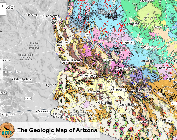
AZ Geologic Map Lab Image

In this exercise, students will use a Geologic map to discover what types of rocks, faults, and ages of those rocks are. They will read about the different environments that Arizona has had over the ages. They will also get a review on words like conglomerate, intrusions, sills, igneous and sedimentary rocks.

For more Earth Science labs and resources visitEarthScience.xyz

Mechanisms and Agents of Weathering Presentation

Image

Physical weathering image

In this assignment, students will find images of rocks and rock formations that demonstrate that weathering has occurred. They will create a Google presentation that demonstrates the mechanisms and agents of weathering involved. They will also describe the type of climate that would have helped form this rock. Students will then present their findings to the class. Hopefully, you will get many different images of awesome rock formations.


For more Earth Science labs and lessons visit, EarthScience.xyz.

Rock Tumbler Abrasion Lab

Image

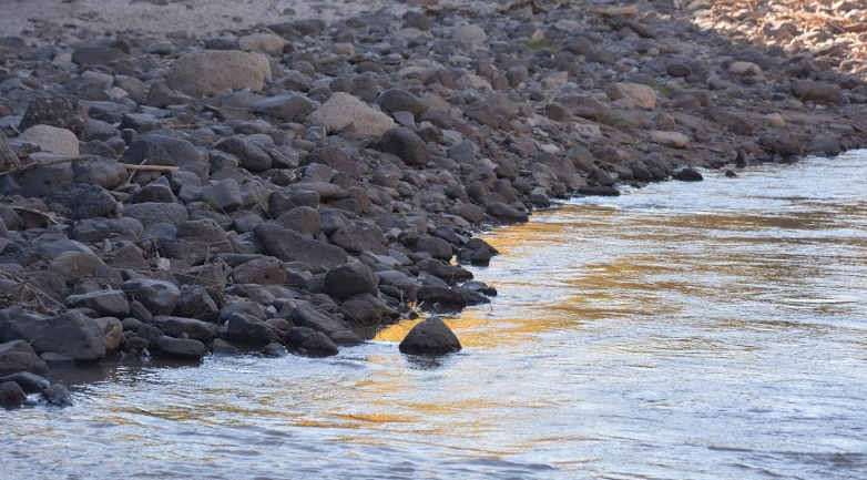
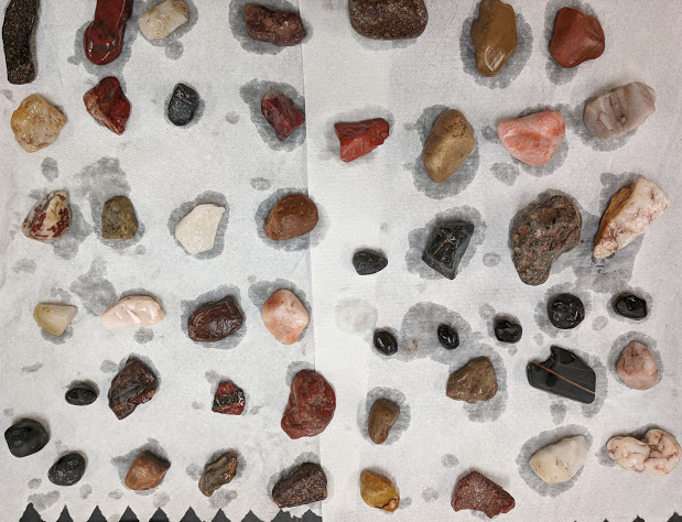
Rock tumbler lab image

In this activity students are going to find a small rock, decide what rock type it is, weight it, place it in a tumbler and then over a two week period observe it to see how much mass a rock can lose if it went through a 24 hour a day process of bouncing around other rocks. Students will get a first-hand look at the power behind water and abrasion. Students will make a statement of conclusion and calculate the rate of mass decrease.

For more Earth Science labs and resources visit EarthScience.xyz
Preview/Download

Physical Weathering Surface Area Lab

Image

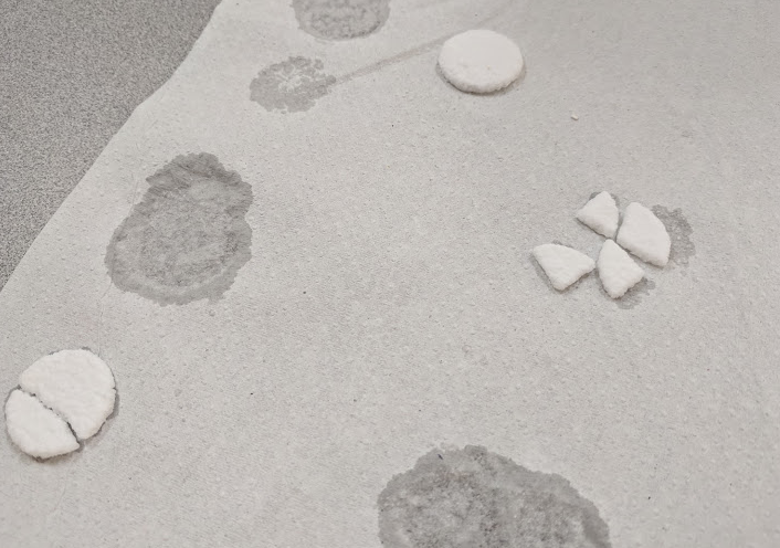
Physical weathering lab image

In this Earth Science lab, students will design an experiment to answer the following question. Will rock weather faster or slower if it has more surface area exposed? Students will use Alka-Seltzer as their rocks. They will have to come up with a control and two other variables, They will need to list their hypothesis, step by step procedures, observations, and create a statement of conclusion. When they are finished they will understand the relationship between surface area and rate of weathering.

Understanding Mass Movement Erosion Types

Image

mass movement image

In this activity students will discover information about the four mass movement types: creeps, slides, falls, flows, slumps. They will discover the most costly and deadliest landslides in the USA. You can either print out copies for students or have them use Google Docs. Other words discussed are erosion, deposition, and lahar. Students will research what natural and human events can trigger landslides. They will also research methods that humans are currently using to try and prevent mass movement.

Preview/Download

Exploring River Formation Earth Science Lab

Image

Exploring River formation image

In this observation lab, students will use stream tables to observe how rivers form. When students are done they will understand how natural landslides can cause river course changes, how meanders are formed, how heavier sediment gets deposited quicker than lighter sediment like silt and clay, why rivers take the path they do, and how deltas are formed. Teacher notes, observations, suggestions, an answer key, and reflections are included.

For more Earth Science activities and resources visit, EarthScience.xyz

Water Features Found In Yellowstone National Park Presentation

Image

yellowstone project image

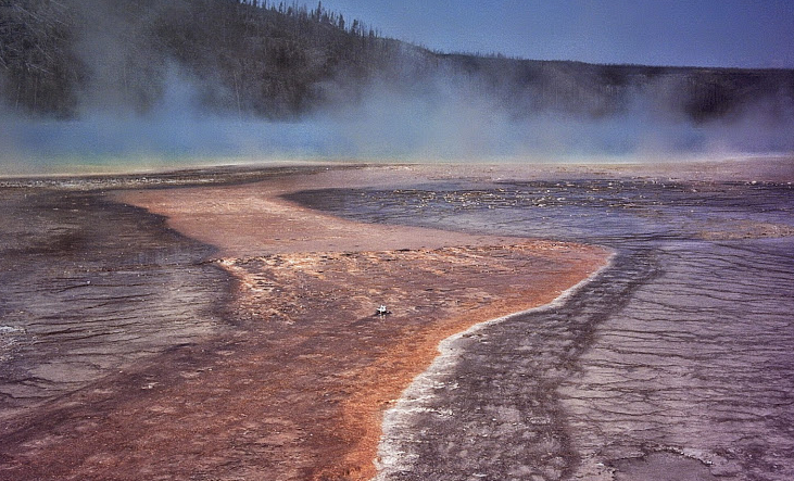
In this assignment, students will research 6 water features that are found in Yellowstone National Park. They will find three images and three facts about each feature. They will create a 7 slide presentation. Attached is a paper that contains a grading rubric and the student instructions for this assignment. Water features researched are Hot springs, travertine terraces, mud pots, geysers, fumaroles, and thermophiles.

Cave Formations and Information Investigation Activity

Image

Stalactites cave image

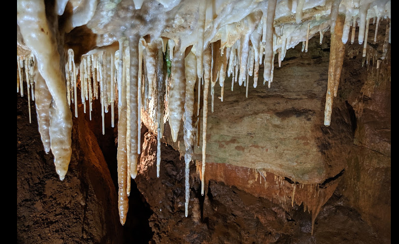
In this assignment students will find images of the most common formations found in caves: helictites, stalactites, stalagmites, flowstone, cave popcorn, soda straws, draperies, cave bacon, columns, and boxwork They will be assigned a specific cave from a list of 18 and answer 8 out of many questions about the cave. Students get to choose the open-ended questions from a list or create their own questions. This assignment is designed to generate interest in visiting the many caves throughout the world. Many of the caves in the list are found right here in the United States.