Famous Volcanoes

Image
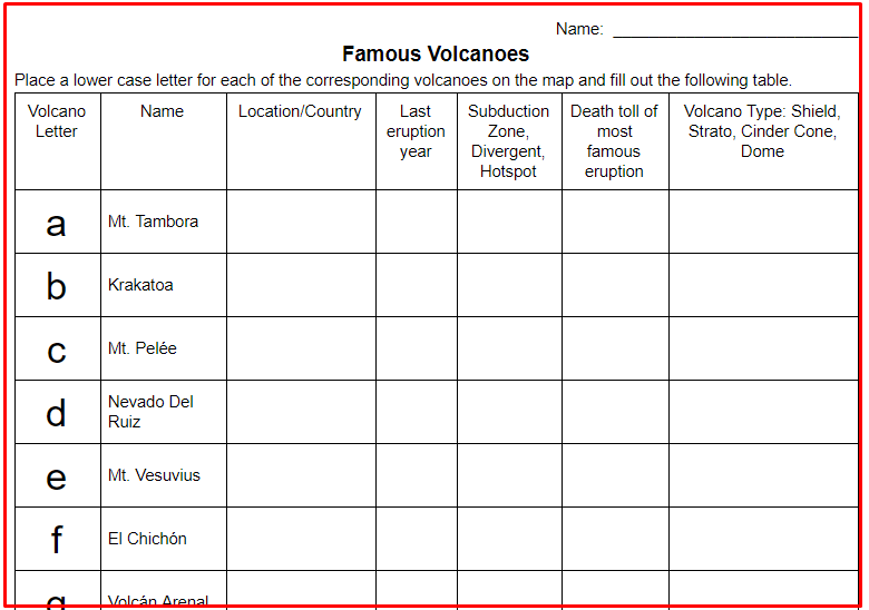
Famous Volcanoes Activity image

In this web research activity, students will research 14 volcanoes via the internet. All of these volcanoes are famous for either their size of eruption or the continuous eruptions that they have. They are famous for causing large tsunamis, huge pyroclastic flows, and lahars, as well as some that might not be so dangerous but have flowed continuously for many years. Students will enhance their geography knowledge by plotting the volcano's location on a plate tectonic map. They will find out when the last eruption occurred.

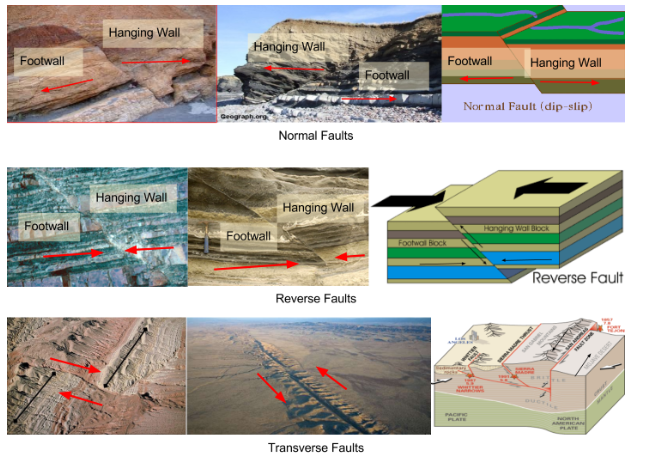
Google Drawing and Diagram: Fault Types and Forces

Image

Google Drawing and Diagram: Fault Types and Forces image

In this EdTech Earth Science activity, students will use Google Drawing to create an image that demonstrates the three main types of earthquake faults, Transverse, Normal, and Reverse. They will find 2 real images of each type of fault. They will draw arrows pointing in the direction that the forces, shear, compression, and tension are moving on each image. They will also find and add an actual diagram of each type of fault. Finally, students will label the hanging wall and footwall on each image except for the transverse/strike-slip.

Current USGS Significant Worldwide Earthquake Investigation

Image

worldwide earthquake map activity image

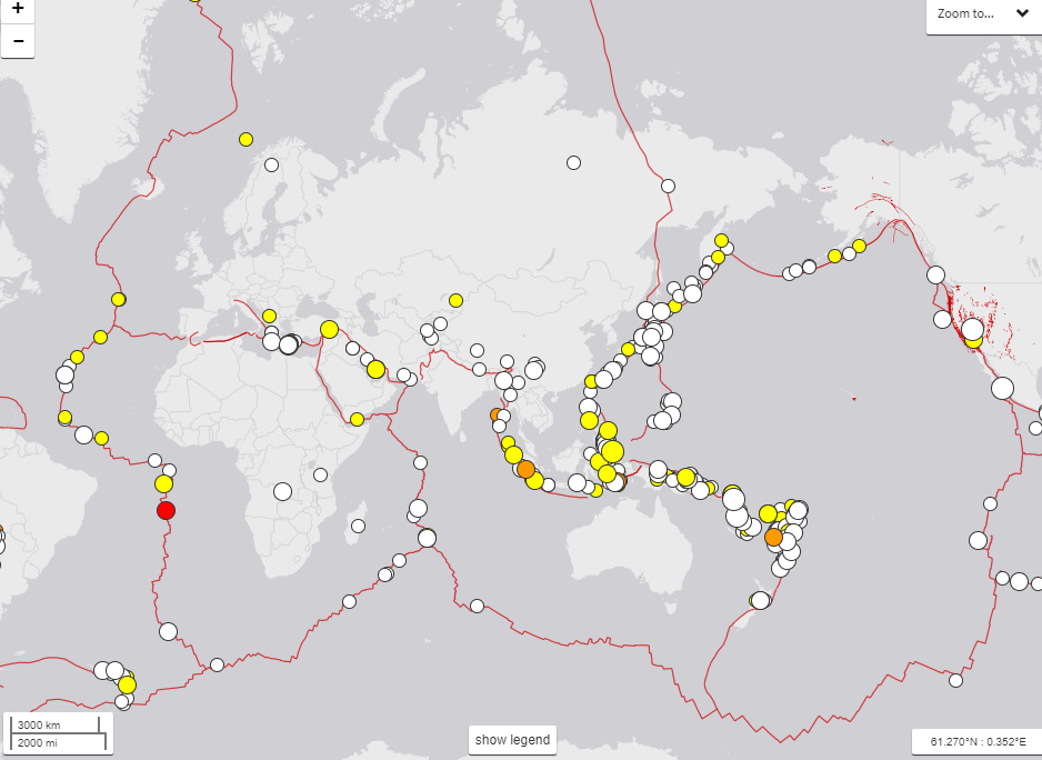
In this Earth Science Earthquake activity, students will explore the USGS current earthquake website. Students will understand what is to be found on the USGS Earthquake website. They will discover how many earthquakes have occurred recently. Students will gain an understanding of what the Mercalli Intensity Scale is used for. Students will discover the 5 largest recent earthquakes that have occurred around the world. They will gain a better understanding of geography as well by using maps and map scales to determine distances from an earthquake epicenter.

Surface Water Landforms Google Earth Scavenger Hunt

Image

Surface Water Landforms Google Earth Scavenger Hunt image

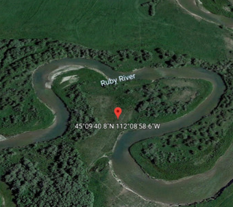
In this Earth Science digital activity, students will locate specific water eroded or deposited landforms. The activity will enhance their understanding of Geo Coordinates. Students will use Google Earth and become more proficient with its use. Students will see actual satellite views of their vocabulary words instead of just memorizing the definitions. Vocabulary words that will be reinforced are Meanders, oxbow lakes, sediment, river types (old, mature, young), delta, deposition, erosion, alluvial fan, and flood plain.

Jobs in Earth Science Investigation

Image

Jobs in Earth Science Investigation image

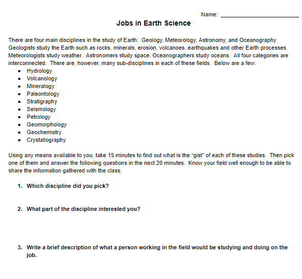
In this activity, students will briefly examine 10 fields/disciplines of Geology: hydrology, volcanology, mineralogy, paleontology, stratigraphy, seismology, petrology, geomorphology, geochemistry, and crystallography. They will pick one of those disciplines that they find interesting and find a job description in that field. Students will also find a salary range and what type of education they would need in order to obtain that salary. When students are finished, they should have an idea that there are money and great careers as a scientist in the field of Geology.

Earth Science Rock and Mineral Density Lab

Image

mineral density lab image

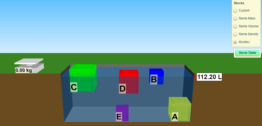
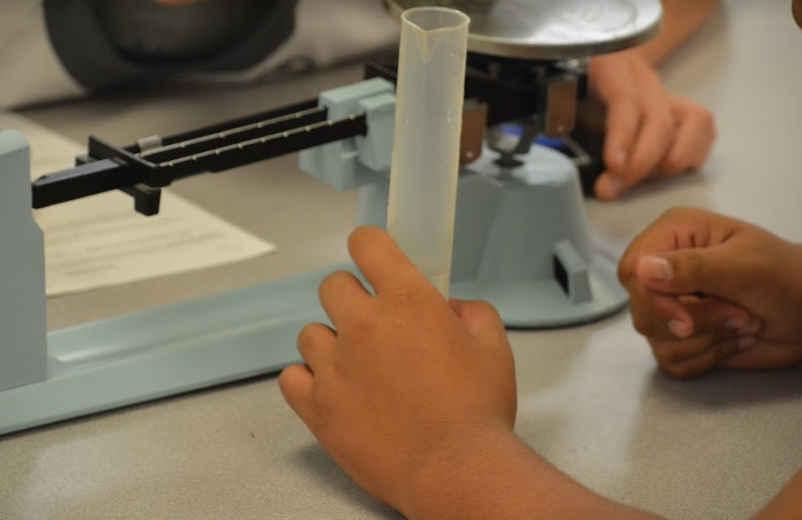
In this Earth Science Lab, students will design and experiment that will help them determine the densities of different rocks and minerals. This is a follow-up lab to the Phet Density Lab that they would have already completed in my class. You can find the Phet Density Lab in the Educational Resource store. This Rock Density lab however can still be given if you have already discussed how to go about finding mass, volume, and densities of rocks and minerals.

Find more Earth Science labs and lessons at EarthScience.xyz

The Magnus Effect: A practice in using a meter tape

Image

measuring using meters

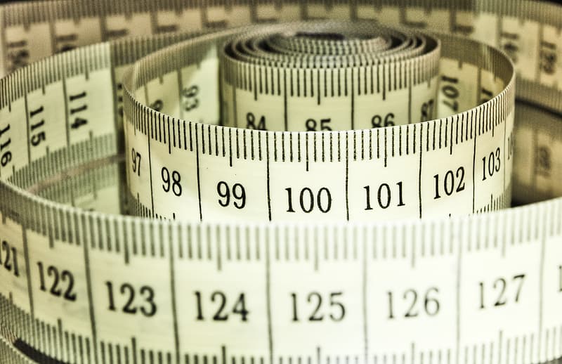
This science lab can be used in any of the science disciplines because it is going to help students learn how to read a meter tape. Students will learn what the Magnus Effect is and how to demonstrate the Magnus Effect by "flying" a hollowed-out "Bic" pen across the classroom. Students will also learn how to create a spreadsheet and then add a formula that will automatically calculate the average of their pen flight distances. I use this lab at the beginning of the year to get students excited about science as well.

Modeling Air Convection Currents

Image

air convection model

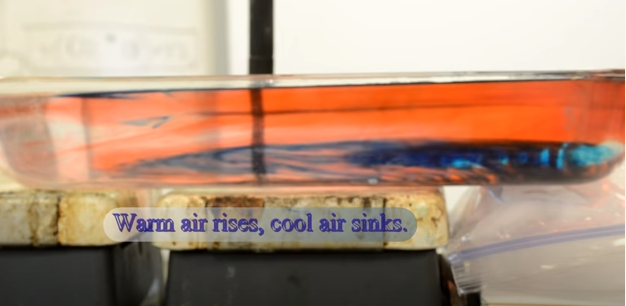
In this lab/demonstration, the teacher will demonstrate how convection currents in the atmosphere occur. This demonstration is very visible and can easily be done without any special equipment except for a hot plate. Students will fill out a science lab sheet that has them hypothesize and then diagram how air currents are moving. As part of the lab, students will get some reinforcement as to what high and low air pressures are and what causes them. Students will also be able to demonstrate their previously gained knowledge of density.

Relative Humidity and Dew Point Lab

Image

Relative Humidity and Dew Point Lab image

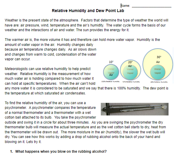
In this Earth Science Lab, students will gain an understanding of what relative humidity and dew point are. There are four parts to the lab. The first part will help them understand the relationship between the ability to evaporate and humidity. Students will then use psychrometers to determine the humidity outside as well as inside. They will calculate the wet-bulb depression and then use the relative humidity chart to determine the percent of water in the air outside and inside the classroom.