Identifying Sedimentary Rocks

Image
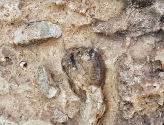
fossil in sedimentary rock image

In this activity, students will hone their observation, inference, and making conclusions skill by trying their best to use a dichotomous classification key to determine the name of their rocks. This Earth Science lab also contains a dichotomous key used for teaching students how sedimentary rocks are classified.

Find more Earth Science lessons and labs at EarthScience.xyz.

Other rock and mineral identification labs can be found at:

Exploring Landforms of North and South America

Image

exploring landforms earth science lab

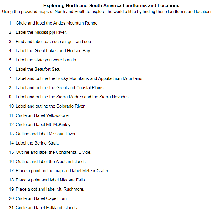
In this assignment, students will explore 25 features found in North and South America. They will circle, outline, and label specific locations on maps of North and South America. In the teacher instructions, you can also find a link to a Presentation that shows and discusses the geology and uniqueness of many of these locations.

For more Earth Science labs and resources visit EarthScience.xyz

A digital study of Awesome Landforms

Image

A digital study of Awesome Landforms image

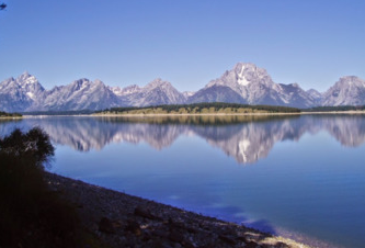
In this one-day activity students will read and learn about the different types of landforms that are out there. They will then, as groups, create a Google Doc and create a table within it. They will find examples, describe the origins, and find an image that represents, coastal plains, interior plains, folded mountains, upwarped mountains, fault-block mountains, volcanic mountains, and plateaus. After they are done students will share some unique discoveries that they have made with the class and compare them with their discoveries with those of others.

Use Latitude & Longitude Coordinates to Locate Awesome Geologic Formations

Image

Coordinates of geologic formations digital lab image

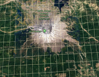
In this activity, students will use Google Earth to find the coordinates of some awesome Geologic Formations. Students will have a greater understanding of latitude and longitude. They will gain an understanding of how to use Google Earth to make discoveries. A link to a presentation that contains images and the geology behind many of the formations is also available. There are two parts to the assignment. First students will type in the coordinates into Google Earth to make a discovery.

Using Topographic Maps Lab

Image

Using Topographic Maps Lab image

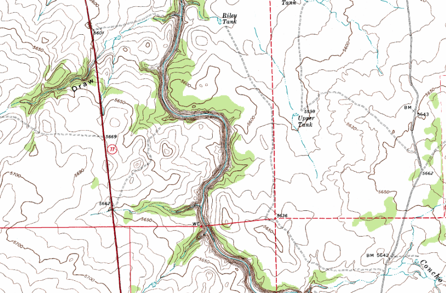
In this activity, students will engage in a topographic map exercise. When a student is finished they will understand what contour lines, elevation, contour interval, contour index, and quadrants are. Students will analyze a map of Snowflake AZ, you can pick your own map if you wish, and discover why it is important to understand topographic maps.

For more Earth Science Labs and Resources visit EarthScience.xyz

Practice Using Geologic Maps

Image

AZ Geologic Map Lab Image

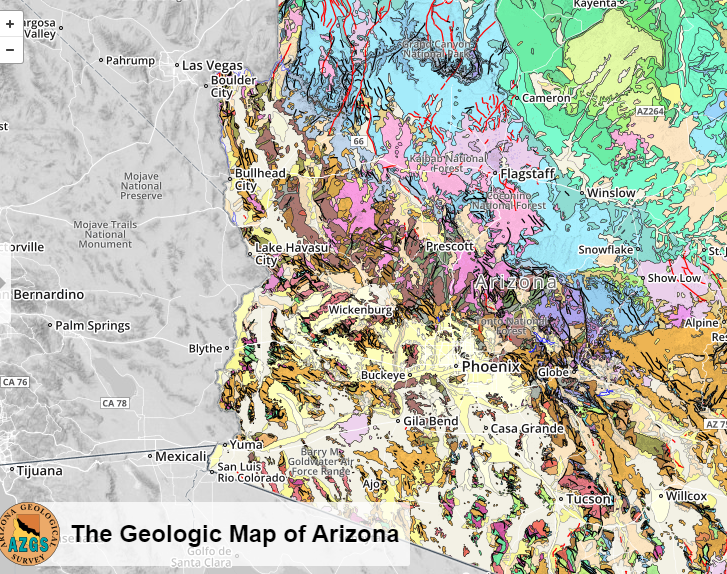
In this exercise, students will use a Geologic map to discover what types of rocks, faults, and ages of those rocks are. They will read about the different environments that Arizona has had over the ages. They will also get a review on words like conglomerate, intrusions, sills, igneous and sedimentary rocks.

For more Earth Science labs and resources visitEarthScience.xyz

Mechanisms and Agents of Weathering Presentation

Image

Physical weathering image

In this assignment, students will find images of rocks and rock formations that demonstrate that weathering has occurred. They will create a Google presentation that demonstrates the mechanisms and agents of weathering involved. They will also describe the type of climate that would have helped form this rock. Students will then present their findings to the class. Hopefully, you will get many different images of awesome rock formations.


For more Earth Science labs and lessons visit, EarthScience.xyz.

Rock Tumbler Abrasion Lab

Image

Rock tumbler lab image

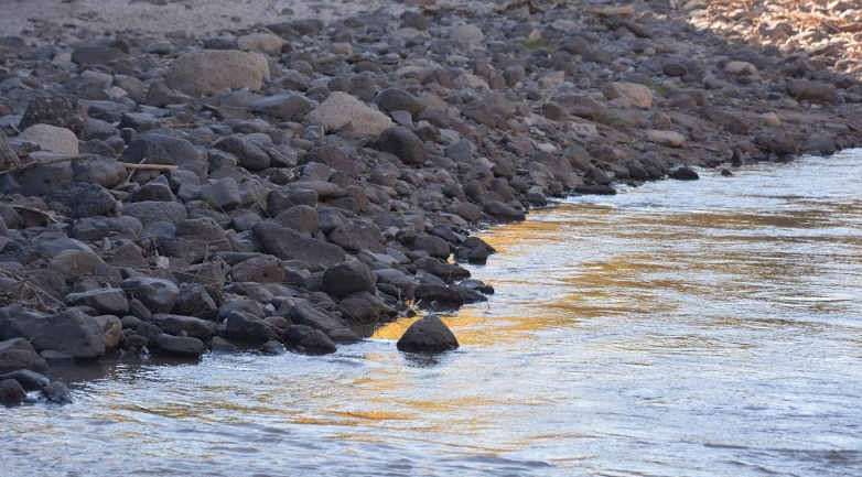
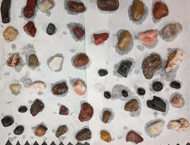
In this activity students are going to find a small rock, decide what rock type it is, weight it, place it in a tumbler and then over a two week period observe it to see how much mass a rock can lose if it went through a 24 hour a day process of bouncing around other rocks. Students will get a first-hand look at the power behind water and abrasion. Students will make a statement of conclusion and calculate the rate of mass decrease.

For more Earth Science labs and resources visit EarthScience.xyz

Preview/Download

Physical Weathering Surface Area Lab

Image

Physical weathering lab image

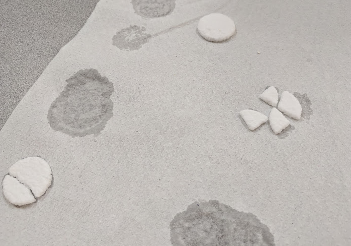
In this Earth Science lab, students will design an experiment to answer the following question. Will rock weather faster or slower if it has more surface area exposed? Students will use Alka-Seltzer as their rocks. They will have to come up with a control and two other variables, They will need to list their hypothesis, step by step procedures, observations, and create a statement of conclusion. When they are finished they will understand the relationship between surface area and rate of weathering.

Copper Penny Oxidation Lab

Image

Copper Penny Oxidation Lab Image

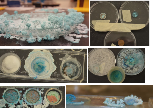
In this lab students design and experiment that will oxidize a penny. The purpose of this lab besides demonstrating chemical weathering is to assess how well students are understanding the scientific method as well as their ability to think outside the box by taking content knowledge and applying it in a lab situation. I stand back from this lab to see how well students perform. Students will observe their pennies each day until their pennies are dry or for 3 or more days, depending on how they set up their design.